Renting a car is a great way to see Iceland
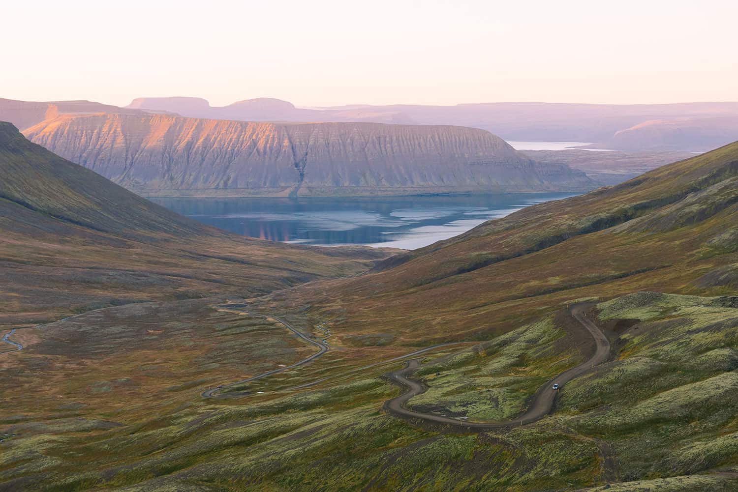
Traveling at your own pace allows you to soak up all the sights and grants you the freedom and flexibility for spontaneous detours. The famous Ring Road is the most direct way to road trip around Iceland (~832 miles), but we'd argue there's much to see along local roads and winding fjords.
Relish the endless Olís gas station coffees (get the discount card) and make the time for the numerous hot springs you'll pass along the way.
Below, are (1) general FAQs answered (2) places of Interest we mapped out for our trip (3) and a quick language gloss for the nature lover.
For us, visiting mid-September offered a great balance between daylight hours, aurora sighting, hiking & camping accessibility, and staying within our budget. However, we were definitely cutting it close with a lot of the longer hiking trails that tend to close past early October.
Winter road tripping comes with its own hazards. We've heard harrowing stories from locals about how snow and lack of visibility led to close calls. More preparation and planning is definitely required. Vegagerdin is a useful site to consult, as it keeps road conditions updated. While, Vegasjá provides a more in-depth view with live webcams and colored indicators that show how many cars have accessed the road.
Places of Interest.
Pin symbols correspond to: hikes, camping sites, natural sights, hot springs, churches, restaurants, & points of interest. Clicking the top left icon allows you to filter the categories & see the POIs in list view. Luckily, Iceland is one of the countries you can download an offline map from Google Maps.
*Note access to some of the destinations are season-dependent.
Details of our adventures by region:
South Iceland (Suðurland)
North Iceland (Norðurland)
- Horse roundup in Skagafjörður
Language Tips.
| Northern lights | Norðurljós |
| Glacier | Jökull |
| Mountain peak | Tindur |
| Volcano | Eldfjall |
| Earth | Jörð |
| Lake | Stöðuvatn |
| Waterfall | foss |
| Cliff | bjarg |
| Beach | Strönd |
| Coast | Fjara |
| Fjord | Fjörður |
| Desert | Eyðimörk |
| Highlands | Hálendi |
| Cave | Hellir |
| Swimming pool | Sundlaug |
| Hotspring | Hver |
Pretty! This has been an incredibly wonderful article. Thanks for providing this info. Violet Gregorius Pfeifer